Apps for EV charging only help while you still have miles to spend. A map pin can’t move a car that’s already at zero. In the Las Vegas Valley, pair those apps with Nevada 511. Monsoon washes and freeway incidents change the plan.
Check Nevada 511 next to the charging map
Nevada 511 and nvroads.com report conditions, closures, and cameras. They tell you whether the road to a listed stall is open. Run that check beside the charging map. Don’t wait until you’ve already spent the miles.
NDOT’s Freeway Service Patrol covers the valley’s busiest freeways. Quality Towing operates it, and GEICO sponsors it. Hours are 5:00am to 8:30pm, seven days a week. Crews handle tire changes, jump starts, fuel, minor fire suppression, and traffic control. The program clears about 55,000 incidents a year statewide. About 31,500 of those are in Las Vegas. The patrol doesn’t advertise EV charging in its published materials. Don’t read that silence as a ban on helping an EV.
Nevada State Police Highway Patrol dispatches rotation tows through Autura. The cell shortcode is *647 for a disabled vehicle on a state road. They don’t dispatch a mobile charge.
A charging app can still point at a stall behind a closure. Pair the two tools before you leave.
Heat, monsoon, and grade will rewrite the estimate
NWS Las Vegas at KLAS puts the average July high at 104.5F. About 78 days a year reach 100F or more. About 9.4 days reach 110F or more. The record high is 120F, set on July 7, 2024. July and August monsoons flood washes and underpasses. The airport often runs 5 to 15F warmer than outlying areas. The east valley and downtown can run up to 11F hotter than the rim.
Recurrent Auto found about 5% range loss at 90F. The same work found 17 to 18% loss at 100F. Cooling a hot cabin can draw 3 to 5 kW. AAA, in May 2026, measured 8.5% range loss at 95F. Don’t treat those as Tesla numbers. Tesla hasn’t published a range-loss figure we could verify.
The valley floor sits about 2,000 to 2,920 feet. Summerlin sits around 3,500 feet and rises toward Red Rock. A Red Rock scenic loop or a Lake Mead day spends extra range. So does the climb toward Mount Charleston on Kyle Canyon Road. Your vehicle app may not feel those grades the way the road does.
I-15, I-215, CC-215, US-93, US-95, and I-11 are free. Nevada has no toll roads and no express-lane transponders. I-15 HOV runs from Silverado Ranch to the Spaghetti Bowl. You need two-plus occupants, 6-8am and 4-6pm on weekdays. The federal single-occupant EV HOV exemption expired September 30, 2025. An app that dumps you into those lanes at the wrong hour isn’t helping.
Use the vehicle app while the pack still has a voice
Start with the app your maker built for the car. It can use your real state of charge, not a generic guess. A third-party map knows where hardware sits. It doesn’t know cabin load or how hard the heat is working the pack.
We won’t name a maker’s app or list its current features. We can’t verify every model after software updates. Check the owner’s manual or the maker’s site. A dealer service desk can tell you if the car even has one.
Treat a suggested stop as a draft. Confirm it before you spend the remaining miles. The app can’t promise a given plug is free and working when you arrive.
That check weighs more once you leave the resort core. A hop between Paradise lots isn’t the same problem. A hot run toward Primm or Indian Springs spends more heat. The farther you get from the Strip corridor, the more a stale pin costs.
Check the network apps you actually plug into
Most public charging networks run their own app or site. Those tools speak for their own equipment. They’re usually the freshest source for that hardware. They still can’t see a competitor’s stall across the same lot.
One network app is a slice, not a census. If the route mixes networks, check two or three before you commit.
We’re not ranking network apps, so check the network’s own site.
The DOE Alternative Fuels Data Center keeps a station locator from reported infrastructure. It’s not a live availability feed. Use it to see what’s been reported. Then verify on the network tool and on Nevada 511.
A Las Vegas Valley charging overview gives local context. It’s not a live stall board. Use it with the apps, not instead of them.
If the percentage is already sliding, read this valley-heat range guide before you gamble the last miles.
Treat crowd-sourced pins as last night’s rumor
Aggregator maps stitch many networks into one view. Some add driver notes about the last session. That can surface a station a single network app would hide.
A pin isn’t a promise. Hardware can be occupied, broken, or removed since the last update. A three-week-old comment is one person’s afternoon, not tonight’s stall. That’s how any listing works when someone else owns the plug.
If a monsoon just hit, water in the charge port is a separate failure. An app that still shows available hasn’t inspected the inlet.
If a Supercharger stall looks down or packed, pause. Confirm only if you still have range to recover from a miss.
Match the map to the road you’re actually on
Harry Reid International Airport sits in Paradise. That’s unincorporated Clark County, not the City of Las Vegas. The Strip sits in Paradise and Winchester the same way. An app that stamps everything “Las Vegas” can hide the jurisdiction. That doesn’t change charging physics, but it can change who you call for a tow.
Airport parking offers free battery jump starts and tire inflation at (702) 261-5122. Whether those lots have EV charging isn’t published on the airport site. Don’t plan a trip on a third-party pin for those garages.
Event lots at Allegiant Stadium fill on a clock the app doesn’t run. So do the Las Vegas Convention Center and Las Vegas Motor Speedway. Nevada 511 will show the backups those events dump onto I-15 and I-215. Check both before you leave with a thin buffer.
If you’re already on a freeway shoulder with a low pack, stop refreshing. Get the car as far right as you can.
NRS 484B.440 lets a disabled vehicle stay on the highway with no time limit. Law enforcement may still remove a disabled vehicle under NRS 484B.443. On freeways and primary highways, a vehicle is treated as abandoned after 24 hours.
Tow operators need a Nevada Transportation Authority certificate. If a rotation tow arrives, ask about release before the hook goes tight.
When the apps agree there’s nothing you can reach
Charging apps find stations, not a fix for a dead stall. They don’t wake a car that won’t take a session. They don’t open a wash that’s closed the approach. Keep a backup that doesn’t depend on one listing being right.
If you arrive and the plug won’t start, that’s troubleshooting. If the pack is already too low to reach a second option, stop driving.
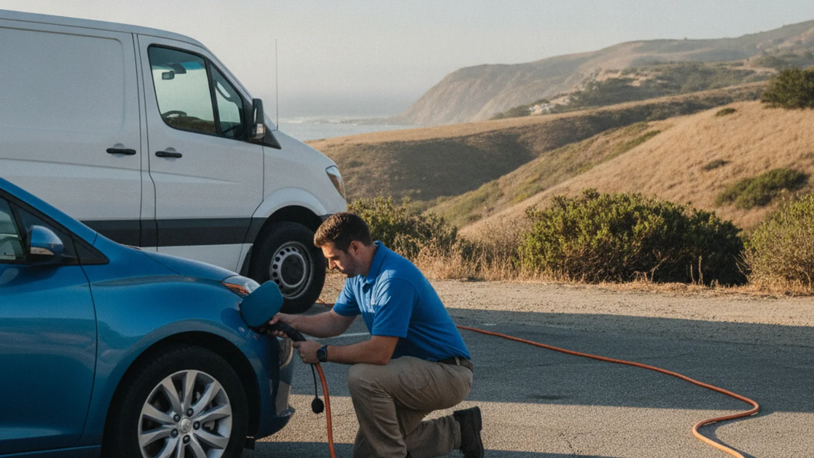
Mobile EV charging can bring a 240V Level 2 source to the car. Operators typically add 10 to 20 miles of range. That takes 15 to 30 minutes of charging. That’s charging time, never an arrival time. They bring a native NACS plug, plus CCS or J1772 adapters for non-Tesla EVs. If the vehicle is at zero, ask about out-of-charge recovery.
Charge Pro LV matches you with an independent local operator. The operator quotes you before starting and bills you directly. We don’t own the truck.
Don’t keep rolling on a shrinking percentage because a new pin appeared. If reachable options have run out, compare a rapid charger with a mobile rescue and stop driving.
When the maps have no miles left to spend
If the apps and Nevada 511 leave no reachable stop, planning is over. Call (702) 935-4699 and we’ll connect you with a local EV rescue operator.